Rae Lakes Loop

Overview
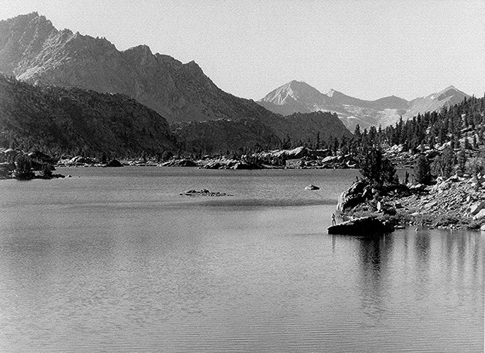
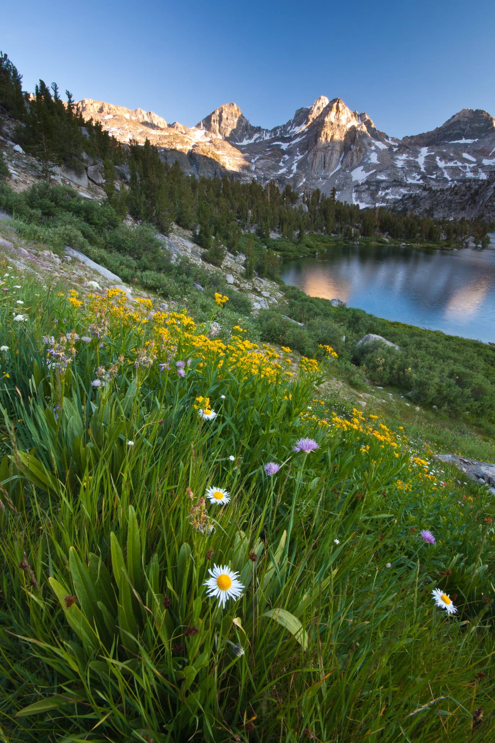
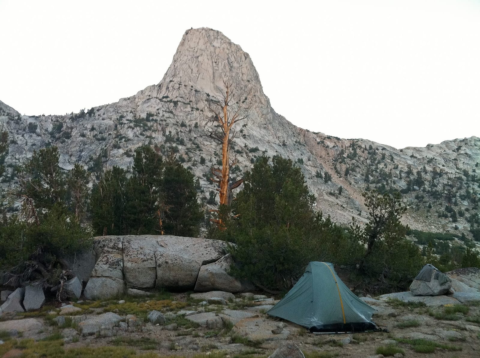
The Rae Lakes Loop is a 41-mile circuit through the heart of Kings Canyon National Park that climbs from the Kings River canyon over 11,978-foot Glen Pass and past the famously turquoise Rae Lakes. Most hikers take four to five days, camping near Woods Creek, the lakes, and Charlotte Lake, with endless side trips to painted granite peaks above treeline.
Highlights
- The Rae Lakes themselves — a chain of glacially scoured alpine lakes that turn an intense blue-green in midsummer
- Glen Pass at 11,978 ft, the high point with 360-degree views of the Great Western Divide
- Mist Falls and the granite gorge of the South Fork Kings River on the approach
- Sixty Lakes Basin side trip for near-solitude above treeline
How hard is Rae Lakes Loop?
CaliPeaks rates this route 58/100 (Strenuous). The score weights five factors: climbing counts for 45% — 7,047 ft puts this trip at 59% of the reference climb; distance 20% at 41.4 miles; maximum altitude 15% at 11,978 ft; route technicality 10% (established trail throughout); and trip length 10% at 5 days. A score under 20 suits first-time backpackers; 60+ means serious endurance. See how we score difficulty for the full method.
Logistics
- Trailhead: Road's End Trailhead (Cedar Grove) (5,035 ft) · parking: Road's End parking area at the end of Kings Canyon Scenic Byway (Hwy 180)
- Water: Abundant — South Fork Kings River, Bubbs Creek, Woods Creek, Charlotte Lake, and the Rae Lakes. Treat all water.
- Resupply: None on trail; limited supplies at Cedar Grove Village in season.
- Shuttle: Not needed — the route is a loop.
- Bear canister required.
Permits
- Agency: Sequoia & Kings Canyon National Parks (NPS)
- Reserve or apply on recreation.gov
- Quota: Quota season trailhead-entry quota applies (typically late May through late September).
- Reservation window: Advance reservations via recreation.gov; walk-up permits issued only when quota remains.
Campfires & stove regulations
Campfires allowed seasonally. Campfires are prohibited above 10,000 ft along the loop and may be restricted forest-wide during high fire danger. Below 10,000 ft, fires are allowed in existing rings unless restrictions are in effect. Current fire restrictions. Rules change with conditions — always confirm with the managing agency before your trip.
Best time to go
Best months: July, August, September.
Snow: Glen Pass may hold snow into July; the loop is often impassable until mid-to-late July in heavy snow years.
Heat: The first and last miles along the Kings River canyon can be hot (90°F+) in midsummer.
Bugs: Mosquitoes peak in June and early July, especially around Woods Creek meadows and the lakes.
Know before you go
- The South Fork Kings River bridge above Paradise Valley washed out in 2017 and will not be replaced before 2027; the river crossing can be dangerous in high water — check with rangers and be prepared to turn back
- Glen Pass can hold snow into July; ice axe experience may be needed in early season
- Bears are very active; a portable bear canister is required — hanging food is not sufficient here
- Camping at Rae Lakes is limited to one night per lake; camping at Bullfrog Lake is closed
Map
Route track shown for reference only — navigate with map and compass. Track source: OpenStreetMap route relation 1710944 (© OpenStreetMap contributors, ODbL) (ODbL 1.0).
Sources & citations
Data compiled 2026 from public agency and reference sources. All descriptive text on this page is original; verify current conditions with the managing agency before your trip.
- Rae Lakes Loop. Sequoia & Kings Canyon National Parks (National Park Service). https://www.nps.gov/seki/planyourvisit/rae-lakes-loop.htm. Accessed 2026-09-07. License: Public domain (US government work). Loop length, trailhead elevation, Glen Pass elevation, camping limits, bear canister requirement, and fire elevation rules.
- Sequoia and Kings Canyon National Parks Wilderness Permits. Recreation.gov / National Park Service. https://www.recreation.gov/permits/445857. Accessed 2026-09-07. Quota season, fees ($15 reservation + $5/person), food-storage and campfire requirements.
- Rae Lakes Loop route relation 1710944. OpenStreetMap contributors. https://www.openstreetmap.org/relation/1710944. Accessed 2026-09-07. License: ODbL 1.0. Route geometry; elevation statistics computed from this track.
- SRTM90 elevation data. OpenTopoData (SRTM, NASA/USGS-derived open data). https://www.opentopodata.org/. Accessed 2026-09-07. Elevation enrichment for computed gain/loss statistics.
- Kings Canyon-Rac Lake (photograph). Wikimedia Commons (Ansel Adams / National Park Service). https://commons.wikimedia.org/wiki/File:Kings_Canyon-Rac_Lake_Aah03.jpg. Accessed 2026-09-07. License: Public domain (US government work).