Backpacking in Sequoia & Kings Canyon National Parks
22 documented trips · 40,243 total feet of climbing across all routes
Sequoia & Kings Canyon National Parks at a glance
CaliPeaks documents 22 backpacking routes in Sequoia & Kings Canyon National Parks, covering 289.5 miles of trail and 40,243 feet of cumulative climbing. Routes range from 3.4 mi (Lady Bug Camp) to 72.2 mi (High Sierra Trail), between 3,291 and 11,978 feet of elevation. The gentlest climbing is on Monarch Lakes at 4,162 feet of total gain.
The area is managed by Sequoia & Kings Canyon National Parks (NPS). Wilderness permits are issued by Sequoia & Kings Canyon National Parks (NPS) — check each trip page for quota and reservation windows. The most-recommended months across these routes are July, September, August.
Alta Trail to Panther Gap
The Alta Trail climbs from Wolverton to Panther Gap's ridge camp in three dry, steady miles — the quiet backdoor to Alta Peak and the Tablel…
Atwell-Hockett Trail
The Atwell-Hockett Trail crosses a giant sequoia grove and climbs to Hockett Meadows, 10 miles of easy-to-moderate grades on the quietest si…
Bubbs Creek Trail
Bubbs Creek is the Rae Lakes Loop's quieter half: a steady climb from Road's End through forest and granite to Sphinx Creek Junction, with t…
Copper Creek Trail
The Copper Creek Trail is Kings Canyon's steepest doorway to the high country: a hot, demanding 4-mile climb from Road's End to Lower Tent M…
Eagle Lake
Eagle Lake is Mineral King's quick alpine swim spot: a 3.4-mile climb from the valley floor to a lake beneath the cirque of the western Grea…
Farewell Gap Trail
Farewell Gap is Mineral King's gateway south: four miles from road's end to the Franklin/Farewell junction, where the trail system opens tow…
Garfield Grove Trail
Garfield Grove is a giant sequoia grove most visitors never see: a 4-mile climb from the South Fork campground to some of the park's largest…
Lady Bug Camp
Lady Bug Camp is Sequoia's shortest backpack: 1.7 miles up a south-facing foothill trail to a tiny camp with a big view — the easiest first …
Lakes Trail to Emerald Lake
The Lakes Trail climbs from Wolverton past the Watchtower's cliff-edge views to Emerald Lake, the first of the granite lake chain below Alta…
Lewis Creek Trail
Lewis Creek is Cedar Grove's steep, quiet alternative: a hot climb from Highway 180 to Frypan Meadow's forest camp, with the wild Kennedy Pa…
Middle Fork Trail
The Middle Fork Trail is Sequoia's winter and early-spring escape: a mild grade along the Kaweah's Middle Fork through oak and pine foothill…
Mosquito Lakes
The Mosquito Lakes are Mineral King's most literal destination: a chain of high tarns so buggy in July they named the trail after them. Four…
Paradise Ridge Trail
Paradise Ridge is Mineral King's dry, quiet spine: a three-mile climb from Atwell Mill to a waterless ridge camp with long views, and the op…
Tar Gap Trail
Tar Gap is Mineral King's moderate middle way: a 4-mile climb from Cold Springs to Deer Creek's camp, with Hockett Meadows and the surroundi…
Twin Lakes Trail (Lodgepole)
The Twin Lakes Trail climbs from Lodgepole into the Silliman country: a moderately steep 3-mile push to Cahoon Meadow, then on to the Twin L…
White Chief Lake
White Chief is Mineral King's mining-country overnight: a 4.1-mile trail through old claim workings to a lake beneath White Chief Peak, with…
Woods Creek Trail to Paradise Valley
The Woods Creek Trail climbs from Road's End into Paradise Valley, a broad meadow basin on the Rae Lakes Loop's north leg where the South Fo…
Monarch Lakes
Monarch Lakes is the quickest route to Mineral King's high country: 3.5 miles and 2,000 feet of climbing from the Sawtooth trailhead to a pa…
Timber Gap Trail
Timber Gap is Mineral King's gentle introduction: a 4.85-mile climb from Cold Springs over a forested 9,500-foot pass to the headwaters of C…
Black Rock Pass
Black Rock Pass is Mineral King's serious climb: 3,300 feet up the Cliff Creek drainage to an 11,600-foot pass on the Great Western Divide, …
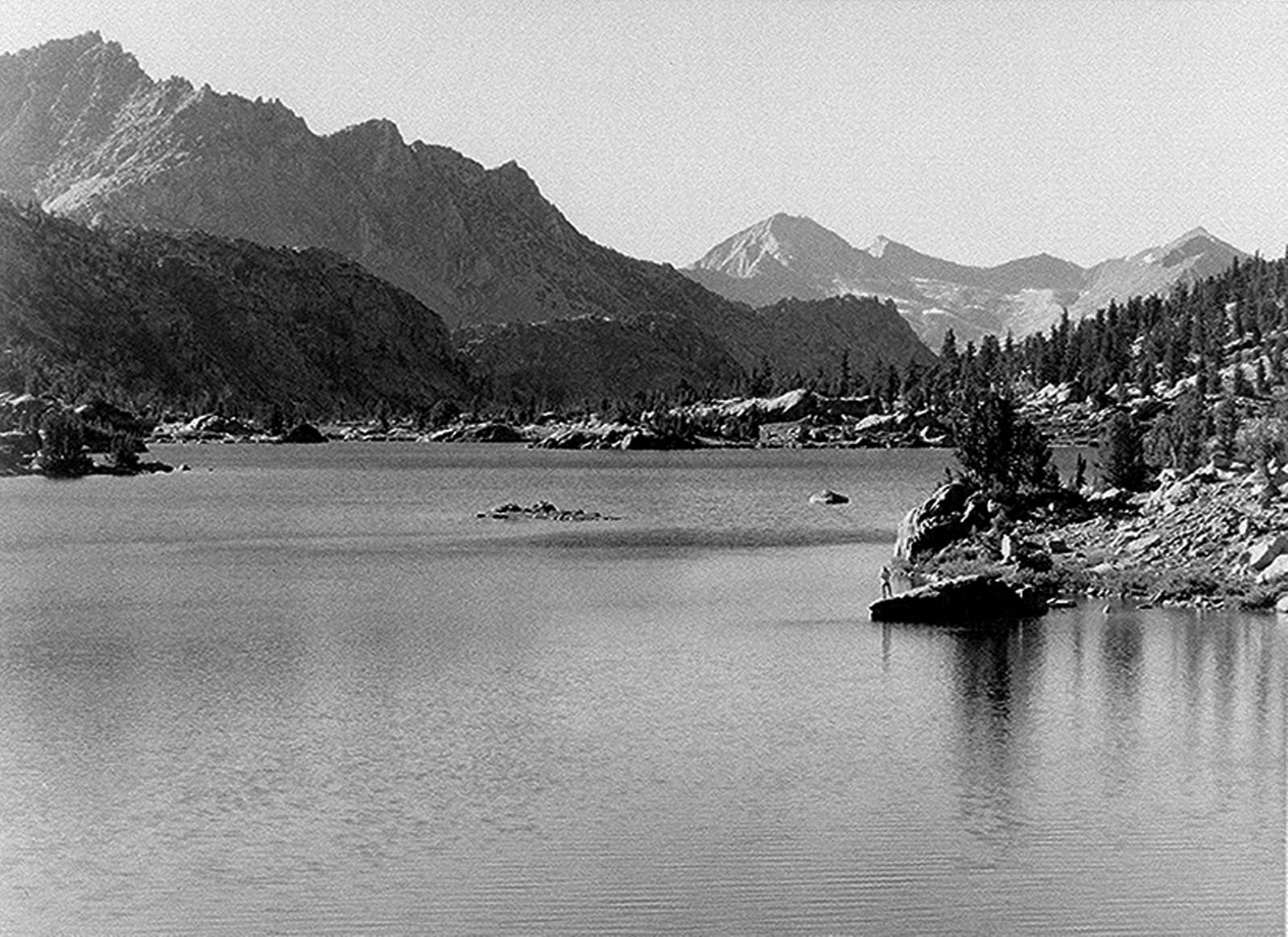
Rae Lakes Loop
The Rae Lakes Loop is a 41-mile circuit through the heart of Kings Canyon National Park that climbs from the Kings River canyon over 11,978-…
High Sierra Trail
The High Sierra Trail crosses Sequoia National Park from Crescent Meadow to the summit of Mount Whitney: 61.5 miles through the Great Wester…